Your Museum, Your Story
TRANSPORT RIDERS MUSEUM:A Community Centric Museum
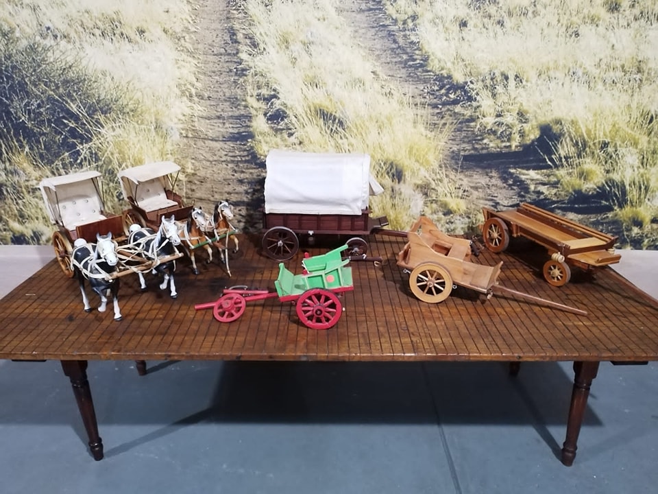
Explore the Museum
Classroom Hub
Events/Projects
Phone
+27 (0)23 312 2045
Location
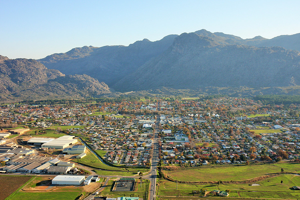
8 Oranje Street
Ceres, Western Cape
Hours
Monday to Thursday
8:30am - 17:00pm
Friday
8:00am - 16:00pm
Weekends and Public Holidays
Appointment Only
All materials on this website, including texts, images, and graphics, are protected by copyright law and are the property of the Transport Riders Museum unless otherwise stated. Unauthorized use, reproduction, or distribution of any content without prior written consent from the museum is strictly prohibited.
We acknowledge the contributions of Mabru Marais Photography, Johann van Biljon, Wessel Uys, and the Western Cape Archives and Records Services for providing some of the photographic material featured on our website.